Projects
The purpose of our study was to determine the current flows of cargo and passengers moving through the road infrastructure throughout the country, including border crossings. To this end, we developed a regional input-output matrix, considering the origin and destination of the cargo, and defined a methodology to update this matrix in the medium and long term.
The work we do
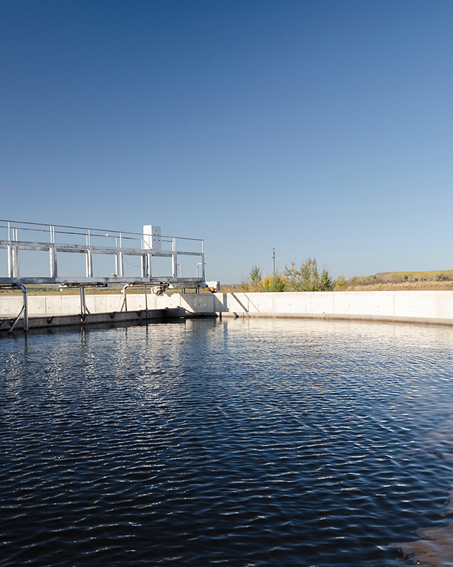
To achieve this objective, we carried out several tasks. We executed and processed classified vehicle counts and origin-destination surveys at 174 stations on the national road network. In addition, we developed management software to store and process the information collected, which included about 250,000 surveys.
With these data, we developed two origin-destination matrices at the national level: one for cargo (tons per nandina section) and one for passengers (by reason for travel). We also defined a methodology for the future update of these matrices and estimated the average daily traffic in all the sites analyzed. Finally, we created an input-output matrix at the national level, divided by department.
Scope of the project
Our transit surveys were carried out in 174 stations, with durations of between 3 and 7 days in each one. Approximately 250,000 surveys were collected, processed and cleaned. We designed custom software to manage road information and created a methodology for processing and updating origin-destination matrices, traffic estimation and the regional input-output matrix.
We delivered to the Ministry of Transportation and Communications (MTC) the software with the database generated from the information we collected in the field.
Project impact
The information obtained and the tools developed are crucial for more accurate road infrastructure planning. They allowed us to provide the government with an updated and functional tool for decision making in transportation.